
As many Americans prepare to return to their weekly routine, forecasters are cautioning residents in parts of the Midwest and Northeast: don’t be surprised by light snow Monday morning. While April typically signals the onset of spring, lingering cold fronts are bringing unexpected snow to several regions, potentially affecting commuters and travel plans.
Where Snow Is Expected?
According to the National Weather Service (NWS), a weak low-pressure system is moving across the Great Lakes and Northeast, bringing with it the chance of light snow accumulation early Monday. Areas most likely to see snow include:
- Upstate New York
- Northern Pennsylvania
- Central and Eastern Ohio
- Southern Michigan
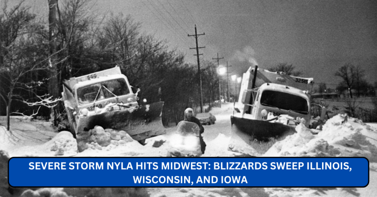
- Parts of Indiana and Illinois
Forecast models suggest snowfall totals will remain light — generally between 1 to 3 inches — but even this can cause slick roads and reduced visibility during the morning commute.
“While this won’t be a major snowstorm, it could lead to slippery conditions, especially on untreated roads and bridges,” the NWS warned in its Sunday evening advisory.
Read the full NWS advisory here.
What Commuters Should Expect?

The morning rush hour on Monday, April 8, may be impacted by the early snowfall. Transportation departments in several states have issued precautionary statements urging motorists to drive slowly and allow extra travel time.
In states like Indiana, where snow is expected to begin in the early hours, road crews have been placed on standby.
We’re not anticipating a major event, but we’re prepared to treat the roads if temperatures dip and precipitation sticks,” said a spokesperson for Indiana Department of Transportation (INDOT).
Visit INDOT’s official website for live road condition updates.
Meanwhile, New York’s Department of Transportation (NYSDOT) also recommends checking their 511 traveler information system for current road closures or delays.
Check NYSDOT’s 511NY map here.
Why Is It Snowing in April?
April snow isn’t unusual for many northern states. In fact, cities like Buffalo, NY and Cleveland, OH, often experience measurable snowfall well into spring. Meteorologists point to a late-season Arctic front dipping into the eastern United States as the main cause.
Sean Ash, meteorologist with WTHR in Indiana, noted that a brief warm-up last week was followed by a sharp cold snap this weekend — perfect conditions for light snow.
“It’s a classic spring rollercoaster,” Ash explained in his weather blog. “We’ll bounce back to warmer temperatures by midweek, but the Monday morning snow will be a chilly reminder that winter’s not quite done with us.”
Read his full forecast here.
Schools and Flight Delays Possible
Some school districts in Pennsylvania and Ohio are monitoring the forecast closely and may announce delays or remote learning days depending on road conditions Monday morning. Parents are advised to check with their local school boards or visit official district websites for updates.
In addition, light snowfall could result in minor delays at regional airports. The Federal Aviation Administration (FAA) encourages travelers to check flight statuses before heading to the airport.
Monitor FAA airport status updates here.
What Should You Do?

If you live in or are traveling through the affected regions Monday morning, here’s how to prepare:
- Leave early: Roads may be slick, especially untreated highways and rural routes.
- Drive carefully: Maintain safe following distances and avoid sudden stops.
- Check traffic reports: Use your state’s 511 service or a weather app to stay informed.
- Watch for changing conditions: Temperatures may hover near freezing, meaning some areas could see rain or mixed precipitation instead of snow.
Looking Ahead: Warmer Weather Returns
The good news is that this snowfall is not expected to linger. Most areas will see a return to sunny skies and temperatures in the upper 40s to mid-50s (°F) by Tuesday afternoon.
Meteorologists emphasize that April weather can be unpredictable — especially in the Great Lakes region. “It’s not uncommon to see snow one day and sunshine the next,” said NWS meteorologist Jessica Reed. “This is just another example of the changing seasons.”
Final Thoughts
While Monday’s snow may catch some off guard, early warnings and light accumulation mean serious disruptions are unlikely. Still, caution is key. Stay safe, stay warm, and check your local forecasts for the most accurate and updated information.
For official weather warnings and local advisories, always refer to the National Weather Service at weather.gov and your state’s Department of Transportation.