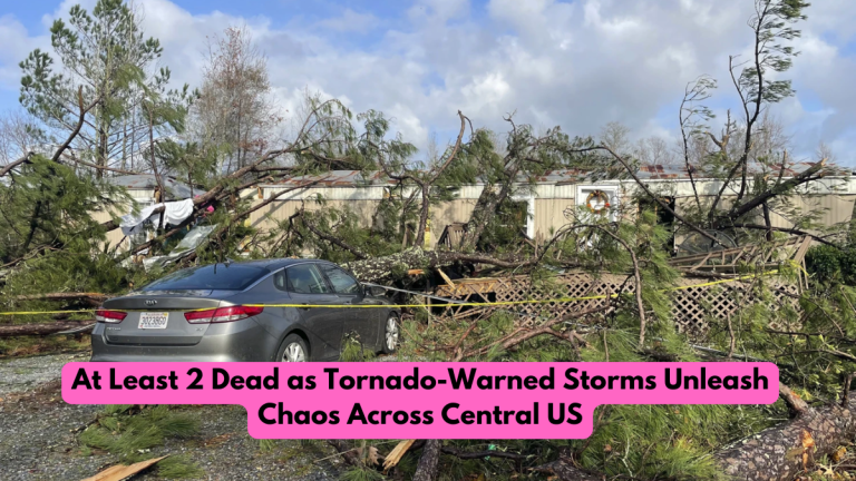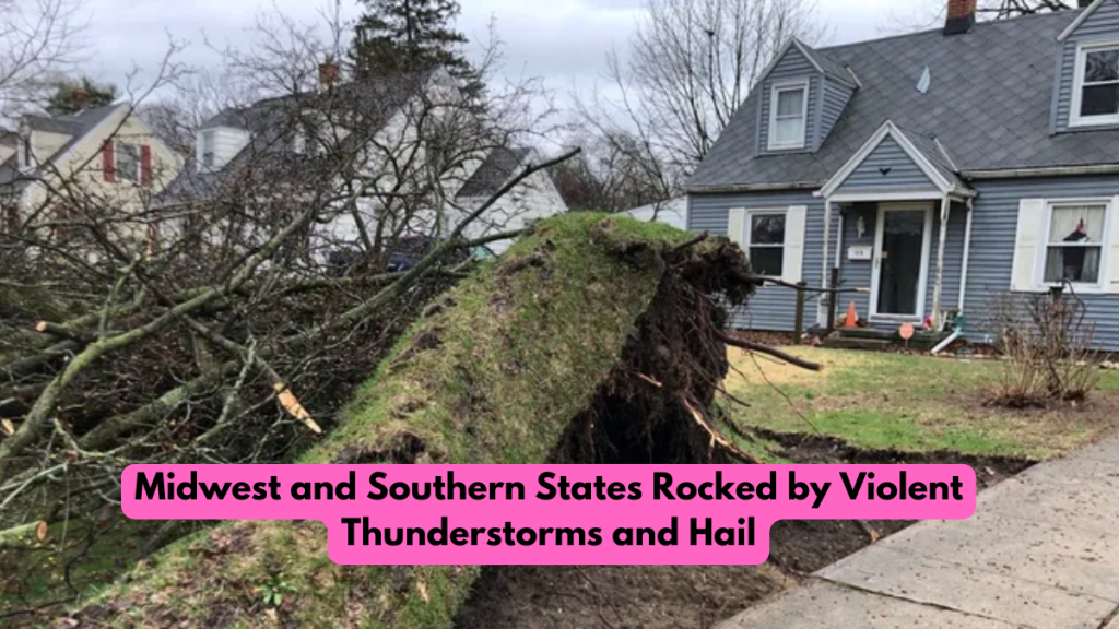
Communities across the Midwest and Southern United States are reeling from a powerful storm system that swept through the region over the weekend, bringing destructive winds, enormous hail, and deadly consequences.
The storms, which impacted states from Michigan to Texas, left behind a trail of devastation—claiming lives, toppling trees, damaging buildings, and knocking out power to hundreds of thousands. Authorities have urged residents to remain alert, as severe weather threats continue in parts of the Southeast.
Storm Turns Deadly in Michigan and Indiana
In one of the most tragic incidents, a large tree fell on a family vehicle in Climax Township, Michigan, killing three people and injuring three others, one of them critically, according to officials from Kalamazoo County Sheriff’s Office. The victims were part of the same family, highlighting the tragic toll that these sudden weather events can take.
Elsewhere in Indiana, a man was killed in Valparaiso after his tractor-trailer was overturned by severe crosswinds. In Elkhart, a warehouse was destroyed, though fortunately, no injuries were reported.
Widespread Power Outages Reported
The powerful storms triggered massive power outages across several states. According to PowerOutage.us, over 400,000 customers were without electricity at the peak of the storm. States heavily affected included Michigan, Wisconsin, Indiana, Kentucky, and Ohio.
Utility crews worked through the night in dangerous conditions to restore service, but some areas may face prolonged outages as cleanup and repair efforts continue.
Tornado Watches and Warnings Issued for Millions
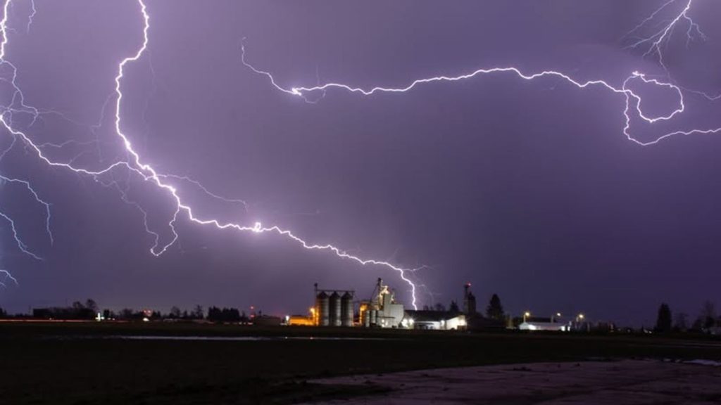
The National Weather Service (NWS) issued multiple Tornado Watches across states including Illinois, Indiana, Michigan, Kentucky, and Missouri. More than 109 million people were estimated to be under threat from the storms.
Many of the warnings were upgraded as the storm system developed supercell thunderstorms—highly organized, long-lasting storms capable of producing large hail, damaging winds, and violent tornadoes.
According to the Storm Prediction Center (SPC), large hailstones—some as large as 4 inches in diameter—were reported in several areas, including Bridgewater, Indiana. Supercells, with their rotating updrafts, are notorious for creating conditions favorable for tornado formation.
Southern States Hit Hard
Tennessee saw particularly severe damage in counties such as Maury and Humphreys, where winds ripped roofs off homes and felled trees. Officials are still assessing the full extent of the damage.
In Texas, particularly northeast and east-central regions, storms produced significant hail and isolated tornadoes. The Houston National Weather Service had warned of the risk along the I-10 corridor, and residents were urged to shelter indoors and avoid driving through flood-prone areas.
Understanding the Storm Severity
The NWS classifies severe weather threats on a scale from 1 (marginal) to 5 (high). Over the weekend, large swaths of the affected areas were under level 3 (“enhanced”) or level 4 (“moderate”) risk categories, meaning widespread, potentially dangerous storms were expected.
Meteorologists stressed that even “moderate” risk levels can produce life-threatening conditions, especially when storms form quickly with little warning.
What Makes These Storms So Dangerous?
Many of the recent storms were supercells—a type of thunderstorm with a deep, rotating updraft. These are the most dangerous type of thunderstorms due to their longevity and ability to produce tornadoes, giant hail, and damaging winds.
According to weather experts, the recent outbreak was fueled by warm, moist air from the Gulf of Mexico colliding with a cold front moving eastward, creating ideal conditions for explosive storm development.
Safety Tips and Government Guidance
As storm season intensifies, emergency services and meteorologists urge people in high-risk areas to stay informed and prepared. Here are some recommendations:
- Monitor weather alerts via the NWS Alert System.
- Have a safety plan and identify a safe space, like a basement or interior room.
- Charge devices and prepare an emergency kit with food, water, flashlights, and first aid supplies.
- Avoid flooded roads. “Turn around, don’t drown” is still critical advice.
- Report downed power lines or outages to your local utility or via Ready.gov.
Looking Ahead
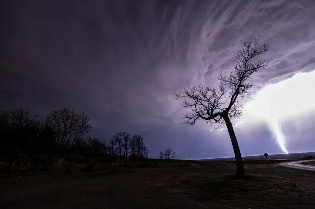
The storm system is moving eastward, with the Southeastern U.S. now bracing for potential severe weather, including additional hail, tornadoes, and flash flooding.
Meteorologists say the conditions are part of a broader seasonal pattern and could signal an active spring for storms. Residents across the country are advised to remain vigilant, keep alert systems enabled on their devices, and follow local guidance during weather emergencies.
In Summary
This weekend’s severe weather was a stark reminder of nature’s force. With multiple fatalities, significant property damage, and lingering power outages, recovery efforts are underway in the Midwest and South. As storm activity continues, staying prepared could be lifesaving.
For more information on storm preparedness, visit FEMA.gov or your local emergency management agency.


